Noosa Plan 2020 Mapping
The planning scheme for Noosa Shire
Noosa Plan 2020 came into effect 31 July 2020 and replaced all aspects of the previous planning scheme, including the mapping.
View the maps for the Noosa Plan 2020.
For more information about the plan visit www.noosa.qld.gov.au/noosa-plan-2020
Disclaimer The information contained in this map has been provided in good faith. Whilst all effort has been made to ensure its accuracy and completeness, Noosa Shire Council takes no responsibility for errors or omissions nor any loss or damage that may result from the use of this information.
Strategic Framework Maps
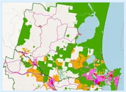
View the high level, Shire-wide maps that accompany the Strategic Framework.
Zone Maps
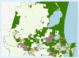
View the proposed land use zones which indicate preferred land use under the Noosa Plan 2020.
Overlay Maps
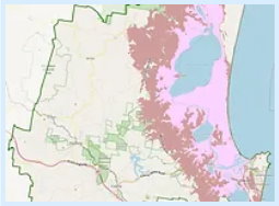
View the various proposed overlay maps which indicate where a particular hazard or value might influence how or where development can be carried out.
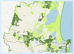
Biodiversity, Waterways and Wetlands Overlay
Note: The protected vegetation area applies to all land in Noosa Shire
Note: MSES environmental values represent the State Planning Policy Matters of State Environmental Significance (MSES) map layers. However, it does not include Category R Regulated Vegetation or Regulated Vegetation - intersecting a watercourse as this is shown on the Biodiversity, Waterways and Wetlands Overlay (ii) as part of the Riparian Buffer Area.
Flood Hazard Overlay
Note 1: The Flood Hazard Overlay Maps identify areas (Flooding and Inundation extent) where flood and storm tide modelling has been undertaken by the Council.
Note 2: The map does not represent complete flooding and inundation potential and other areas may be subject to flooding and inundation.
LGIP Maps
View the Local Government Infrastructure Plan maps for stormwater, transport (pathways, bus stops and roadways), public parks and land for community facilities.
Other Plan Maps
View the other maps that influence development assessment, such as short stay areas, koala habitat and airport environs.
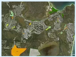
Koala Habitat Area
Note: Koala habitat trees are not confined to these mapped areas, but also occur throughout other parts of Noosa Shire. The State Government Koala Assessable Development Areas mapping identifies koala habitat within assessable development areas under the Planning Act 2016.