Coastal Monitoring
As part of its strategy to manage climate change impacts along the coastline, Council developed a long-term Coastal Monitoring Plan in 2022 which sets out annual monitoring activities to:
- Better inform coastal management measures;
- Identify key areas requiring future management; and,
- Provide data for future coastal hazard studies.
This work responds to a key message received from the community during the development of Council’s endorsed Coastal Hazards Adaptation Plan (CHAP): that localised data collection and monitoring of the coastal system should be prioritised in order to better understand and model the impact of coastal hazards driven by climate change.
The monitoring program includes a range of data collection methods including remote sensing techniques to capture shoreline position, beach levels, beach volume, seafloor levels, vegetation extent and density, seafloor sediment volumes, and the movement of creek outlets. The data collection methods include:
- Upper Beach Survey using RTK-GPS
- ATV Beach Survey using ATV mounted RTK-GPS (see image below)
- Photogrammetry and LiDAR topography from drones
- ETA transect surveys for eight sites
- Satellite-based creek monitoring
- CoastSnap citizen science site at Sunshine Beach Lookout with UniSC, UNSW and QPWS
- Coast4D citizen science monitoring with UniSC
- Water-based surveys using Single-Beam Echo Sounders
- Satellite-derived bathymetry
The coastal monitoring program is currently running annually, before and after the storm season.
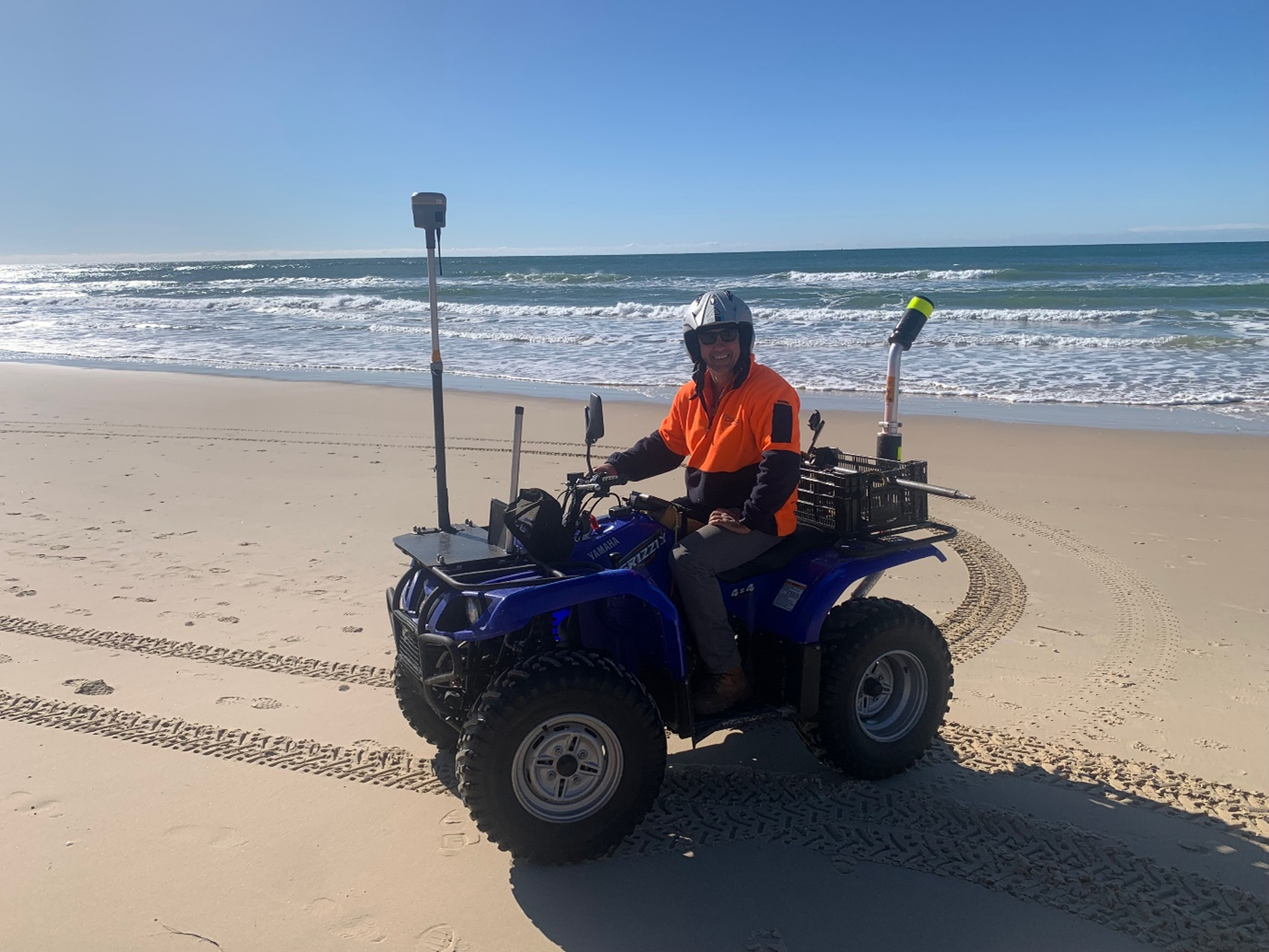
AtV with RTK-GPS unit surveying the Eastern Beaches
Understanding the behaviour of the nearshore zone is critical to understanding the behaviour of the overall beach compartment and applying that understanding to suitably robust studies in future. Coastal monitoring can be used to calibrate and validate various model types that may be developed to capture nearshore coastal processes in a more complete way.
As part of its efforts to implement priority actions outlined in the CHAP, and use the data collected in the annual Coastal Monitoring Plan, Council has partnered with the Sunshine Coast Council and the Queensland Department of Environment and Science to obtain Federal grant funding that would support the development of a coastal process model. The developed model intends to evaluate shoreline evolution over time and model coastal processes around important coastal features. This will be key to understanding:
- The effect of adaptation responses such as beach nourishment, dune rehabilitation and built infrastructure;
- How our shoreline responds to coastal hazards including cyclones and sea level rise; and,
- To inform future management actions and updates to important management plans such as Council’s Coastal Hazards Adaptation Plan.
Council has also partnered with physical geographers at the University of Sunshine Coast, University Queensland, and EOMAP on a project that will trial a more cost-effective way to capture coastal dynamics in order to inform management response to increasing coastal hazards. The Coastal Change Observation and Analytics (multi-) Scale, (multi-) Technology System (COASTS Project) aims to integrate coastal imagery collected across a suite of platforms, ancillary environmental datasets and numerical models in order to monitor changes in nearshore bathymetry (seabed morphology), beach and dune sediment volumes, and forecast potential erosion and flooding hazards. This offers a unique opportunity to pioneer this sophisticated and multi-disciplinary approach in Queensland. This work is supported by the SmartSat CRC, whose activities are funded by the Australian Government’s CRC Program, and the Queensland Government, via the Department of State Development, Infrastructure, Local Government and Planning.
Remote Sensing
While testing and operationalising more cost-effective ways to capture data that can improve coastal protection is important, using remote sensing technology comes with important data management responsibilities.
Incidental Collection
One of the consequences of using remote sensing is that the surveillance can record information incidental to that necessary to fulfil the intended purpose. For example, if Council is using drones to survey shoreline position, it could collect images of any individuals at the beach at that time.
Even though this project does not intend to capture images beyond that required for the function of coastal process monitoring, once it is in Council’s possession, the Queensland Information Privacy Principles (IPPs) found in the Information Privacy Act 2009 governing storage and security, use, disclosure and overseas transfer nonetheless will then apply to any personal information in these incidental images.
On the responsible use of drones specifically, Council is currently developing a drone management policy. This policy will outline protocols and procedures for using drones, and communication with the community.
Information Privacy
The Information Privacy Act 2009 (Qld) governs how local governments collect, use, disclose and store personal information. While in most circumstances, remote sensing technology will not collect personal information, there may be some instances where personal information is collected during the course of operation. This can include people on the beach or foreshore and the back of some properties adjacent to the dune system. Any personal information collected during the use and operation of remote sensing techniques for the purpose of coastal process monitoring will be treated confidentially and only be provided to appropriate Council employees and authorised officers. Any personal information collected will not be disclosed to any other party unless permitted or required by law. Council handles personal information in accordance with the privacy obligations in the Information Privacy Act 2009 (Qld). Further information on how we manage personal information can be found in Council’s Privacy Policy. For concerns or complaints with regard to privacy, please resort to Council’s privacy complaints process here.
For further information or questions regarding the program, please contact climatechange@noosa.qld.gov.au.